Vizualizácia Southbank

Big Plans
for a
Better City

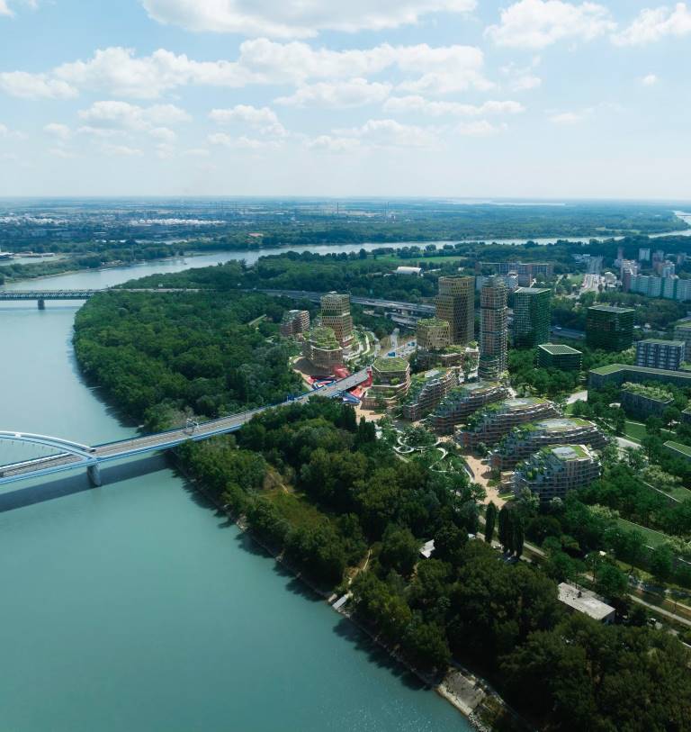
The current zoning plan, in place since 2006, already permits the expansion of the city center to both banks of the Danube. However, the broader area where Southbank is set to rise has remained largely untouched by construction so far.

Visualization Southbank

A New City Center on Both Banks of the Danube

Updating the original zoning plan to reflect current conditions and the needs of residents will enable Bratislava to transform into a compact, functional city that thrives on both sides of the river. The centrally located but long-neglected area of the capital can thus become an attractive locality perfect for living, working and leisure activities.

Southbank map
Southbank map
Southbank vizualizácia

Reimagining Bratislava

Urban Planning and Architecture

The original zoning plan does not allow much flexibility in designing the urban planning concept of the newly developed area, as it rather strictly defines not only the position but also the shape and function of individual buildings. Amending the zoning plan would allow for the full realization of the area’s potential.

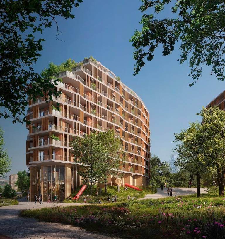
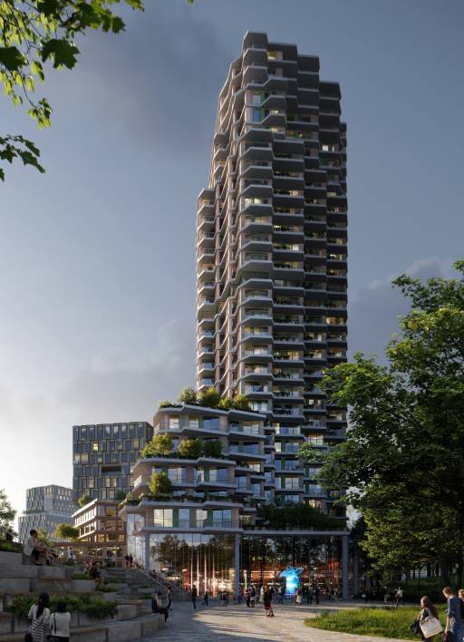
The former monofunctional blocks defined in the zoning plan will take on a multifunctional character. The individual plans will thus align with the vision for urban development projects, which, combined with the proximity to the river, will facilitate the creation of a vibrant part of the city. Greater flexibility also presents the opportunity to introduce world-class architecture back into Bratislava.

Southbank vizualizácia

Comprehensive Lifestyle on the Danube Riverbank

15-Minute City

The proposed changes aim to balance the ratio of residential and commercial buildings, creating a full-fledged, compact, mixed-use area with the potential to become a modern 15-minute city.

Thanks to comprehensive public amenities, the zone will have the prospect to become commercially self-sufficient, whether in terms of shops or offices. Future residents will have access to all necessary services without the need to leave the area for work, leisure, or shopping.

Southbank vizualizácia

Interconnected
City

Transport

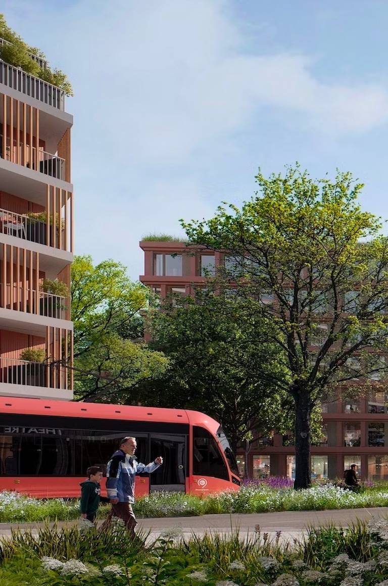
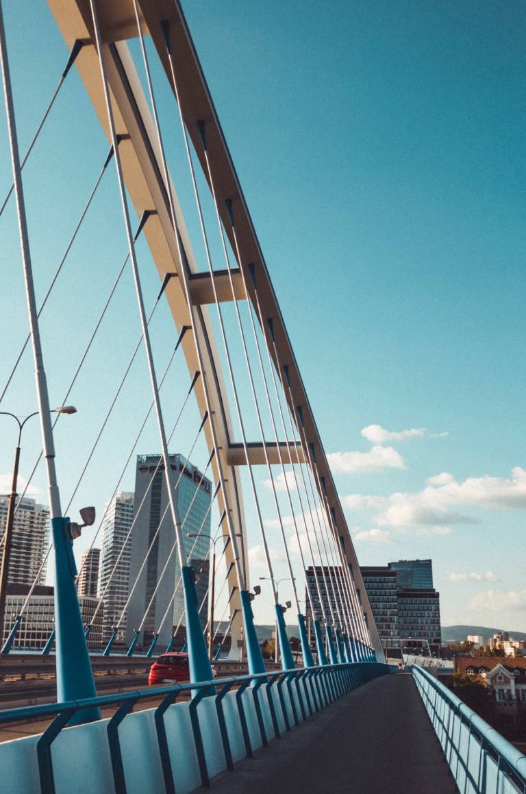
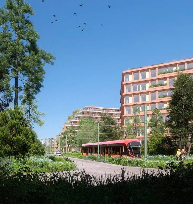
The location will be directly connected to the city center. Travelling from the Southbank project to the new downtown will only take a few minutes. A new pedestrian bridge will play a key role, providing a crossing for pedestrians and cyclists and linking two opposite squares. The changes also include plans for new tram lines. Currently, trams cross the nearby Old Bridge, but in the future, they should extend directly into the Southbank area.

Additionally, a new railway halt is planned on the other side of the Danube, south of Einsteinova Street near Muchovo Square, where a Terminal of Integrated Passenger Transport (TIOP) is to be established. The new railway halt will help the transportation situation on the other side of the Danube and will provide Petržalka with a new transportation hub in the north, offering convenient access to the new development area along the Danube.

Southbank vizualizácia

Nature was
here first

Greenery at Southbank

Greenery will continue to play a vital role in the area, with the prospect of becoming much more accessible and of higher quality. The proposed changes identify the area as ideal for the creation of high-quality public spaces utilizing the potential of the Danube River.

By updating the zoning plan, green spaces in the area will expand by an additional 32,600 m². This includes the central park, which will stretch from the Old Bridge almost to the Apollo Bridge, connecting to the public spaces of the surrounding planned developments.